VMMap App
When used with Bluetooth enabled Vivax-Metrotech receivers, the VMMap Utility Mapping app records data from the field which is instantly available online via the VMMap Cloud web portal or can be shared by using the email function in the app. Location data is obtained from the mobile phone, or an external GPS device of your choice. Depth readings, GPS coordinates, the distance between locates and more are captured as data logs and can be saved as xls, txt, shp, and kml extension files. The data is compatible with Google Maps, Asset Management, and GIS software.
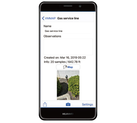
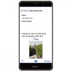
The image capture feature in the app allows the user to attach a JPEG format image to the surveys. This is useful to add points of interest or a snapshot of the completed survey. Access the image files and all the data captured in the app in the VMMap Cloud web portal or email it from within the app.
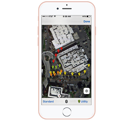
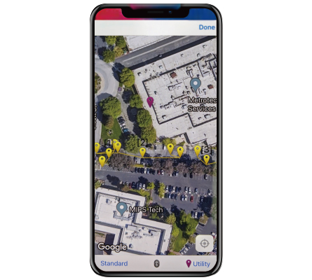
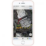
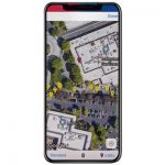
The VMMap app generates maps in real time, giving confidence to the field technician that the data being collected is accurate.
- Uses both Google and Apple Maps
- Low and high GPS accuracy settings
- Plug-and-play Bluetooth pairing to receivers
- Export to various file types for use with popular GIS programs
- Compatible with Google Maps, Asset Management, and GIS software
- Show multiple utilities on one map with color-coded utility drop pins
The VMMap Mobile application is compatible with both iOS and Android devices.
